

Campervan Hire Australia & NZ: Start Your Adventure Here
Planning to take your gap year to the next level Down Under? You are in the right zone. As the season winds down in the UK and Europe, the adventure is just heating up here in Australia and New Zealand. Trade the winter chill for pristine beaches and experience the wildest, most iconic road trip of your life.
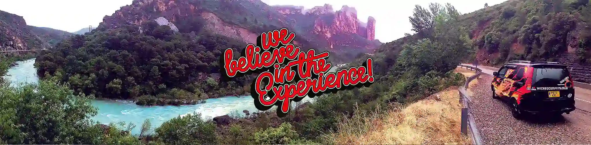
We proudly offer the wildest, cheapest, and most iconic campervans for hire across Australia and New Zealand. Whether you dream of conquering the red dust of the Outback, surfing pristine coastlines, or cruising through the breathtaking Kiwi mountains and fjords, we have the perfect vehicle for your budget. Stop dreaming and start driving your epic road trip story starts right here.
Frequently Asked Questions
How much does it cost to hire a campervan in Australia or New Zealand?
Hire prices vary by location, season, and trip length in both countries. Wicked Campers offers budget-friendly options starting from around $40/day in low season. Longer hires often attract lower daily rates.
What is included with the hire?
All hires in Australia and New Zealand include the campervan, a comfortable mattress, basic kitchen equipment (gas cooker, cutlery, pans), and 24/7 roadside assistance. Most rentals come with Unlimited Kilometers (check specific vehicle terms for remote areas).
Where can I pick up a Wicked Camper?
Australia: Sydney, Melbourne, Brisbane, Cairns, Perth, Adelaide, Darwin, Hobart, and more.
New Zealand: Auckland, Christchurch, and Queenstown.
Check our Locations page for full details.
Can I do a one-way campervan hire?
Yes! We love one-way road trips. You can pick up in one city and drop off in another (e.g., Sydney to Cairns, or Auckland to Christchurch). One-way fees may apply depending on the route and season.
How old do you need to be to drive?
Drivers must be 18 years or older with a valid full driver’s licence. International licences in English (or with a translation) are accepted. Note: For 4WD vehicles in Australia, drivers typically need to be 21+.
Is insurance included?
Yes, Basic Cover is included in the daily rate for both countries. You can choose to reduce your liability (excess) by upgrading to our Cover Plus options during the booking process for extra peace of mind.
Can I freedom camp in Australia and New Zealand?
New Zealand: Yes! Most of our NZ fleet is Certified Self-Contained, allowing you to stay in designated freedom camping areas.
Australia: Rules vary by state. While there are many free camps, you generally need to stay in designated rest areas or campgrounds. Apps like CamperMate are essential for finding legal spots in both countries.
Do the campervans have toilets and showers?
New Zealand: Our campers include a portable toilet to meet Self-Contained certification standards.
Australia: Most budget campers do not include toilets or showers, but public facilities and holiday parks are abundant along all major routes.
Where can I drive?
You can drive on all sealed roads. For 2WD campervans, unsealed road driving is generally restricted to short access roads (e.g., to campgrounds) up to a certain distance. 4WD vehicles in Australia have more freedom to explore unsealed tracks. Driving on beaches is strictly prohibited for all vehicles.
What happens if I break down?
Don't panic! We provide 24/7 Roadside Assistance in both Australia and New Zealand. If you have issues, you can call, text, or WhatsApp our support line at +61 417 740 308 anytime.
Cheap Campervan Hire Australia & New Zealand
Eat, Sleep, and Explore... the Wicked way. Forget expensive hotels. Simply open the back door for an instant kitchen with a view. Pop up the table, store your gear, and crash on a huge comfy bed after chasing horizons.
Whether escaping the European winter or hunting for Middle-earth, Wicked Campers is your ticket to freedom. With 12 depots across Australia and key locations in New Zealand, we offer the wildest and cheapest rental network Down Under.
Hire in Australia
Huge land, endless roads. Perfect for the Red Centre or Great Ocean Road.
- ✓ Price Beat Guarantee: We beat competitors by 10%.
- ✓ Unlimited Kilometers: Drive as far as you want.
- ✓ 4WD Options: For true Outback adventures.
Hire in New Zealand
Mountains, fjords, and adrenaline. Vehicles ready for alpine roads.
- ✓ Freedom Camping: Certified Self-Contained options.
- ✓ 3 Major Depots: Auckland, Christchurch, & Queenstown.
- ✓ All Seasons: Equipped for Kiwi weather.
Ready to hit the road? Don't just read about it. Check our vehicle options and grab the best deal before they sell out.